 SURVEY.lv English home
Surveying and geospatial data service
LiDAR Scanning and Point Clouds
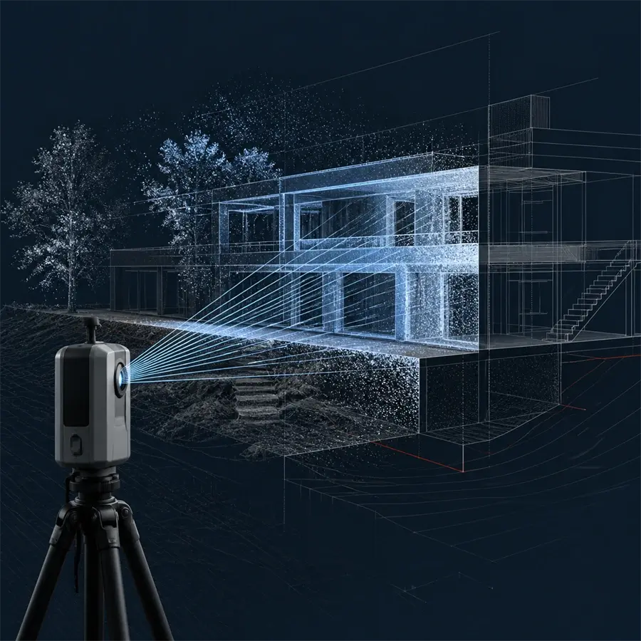
We capture detailed spatial data with LiDAR scanning and prepare a point cloud for the agreed use case.
Scope and deliverables
- Spatial scanning of interiors, structures or outdoor sites
- Point-cloud processing and classification for the agreed task
- Data for modelling, comparison or site documentation